As Cities Grow and the Climate Changes, New 21st Century Risks Emerge Pr. Deborah Balk

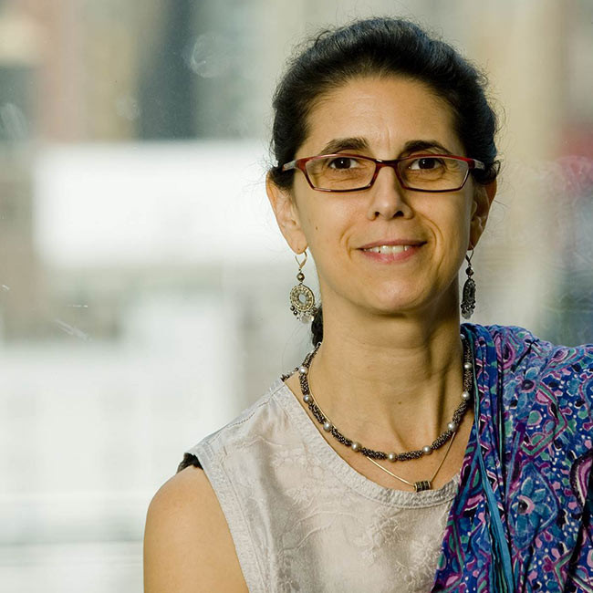
Prof. Deborah Balk, of the City University of New York’s Institute for Demographic Research and the Baruch School of Public Affairs, and her colleague, Prof. Mark Montgomery, of the Population Council, are taking a novel approach to the problem. They are adding spatial information to the field by combining satellite images with social science and demographic data (such as those from censuses and surveys). This will allow them to identify how manyurban dwellers live at risk from climate change; where, precisely, they are; and how this is likely to evolve.
For instance, in her earlier work (with colleagues at the International Institute for the Environment and Development and Columbia University), Prof. Balk found that cities are disproportionately located in coastal regions, even in big countries like the United States. Within coastal cities throughout the world, people tend to live in lower-lying areas, too. While such large-scale observations have been established, it is still uncertain how large cities differ from mid-sized cities; little is known about those with populations under half a million.
Prof. Balk and Montgomery’s current research is not only an assessment of where people are now, but an effort to predict where they will be in the future, as climate change progresses. They are examining how cities grow, considering not only the basic equation for natural increase (fertility minus mortality), but also migration. Until now, both episodic and long-term migration—a factor well understood in national population accounting, in large part because the migration is international—have been neglected as a source of city-level population growth. This is partly because migration that is largely internal to a given country is much harder to measure.
Getting City-Specific, When Social Science and Satellites Meet
To address these gaps in the current knowledge, Prof. Balk is taking the new approach of combining multiple sources of data that inform the question of where, how, and how fast urbanization is happening around the world, in cities of different sizes. Most often, researchers in the field remain within their own specialty; to achieve this novel combination, she is integrating existing tools from multiple specialties. The data she uses include different kinds of satellite imagery, like nighttime light datasets for a broad view, or the new Global Human Settlement Layer (classified images of built-up areas versus land cover); census or survey data on populations; and climate factors. She starts by spatializing the demographic and social science data (which tend to reported at many different levels such as province, county over time and place), and overlays and refines it with spatial information about the built (or likely urban) environment (which are consistently reported) in order to create a spatial rendering of cities of all size from small towns to large urban agglomerations; where possible, these data are compiled for several time points in order to evaluate change in urban areas over the past few decades.Once these data are spatially consistent, information about climate or environmental characteristics may also be summarized.
With the summary statistics produced from this technique, Prof. Balk has been able to draw conclusions about factors like the fraction of a coastal city’s population living within a strip called the Low-Elevation Coastal Zone and exposed to related climate change risk. Her results show that, overall, 360 million urban dwellers around the world—one out of every eight—live in this zone, the large majority of which (240 million people) are in Asia. This kind of information is essential for governments and policy makers on climate mitigation and adaptation, and this new class of methods is slowly becoming an important part of the research tools used by those studying economic development, urbanization and related subjects.
Until now, most research on urbanization has looked at these issues on a large scale, not in a city-specific way. Climate modelers, for example, have traditionally considered only what fraction of the world is urban. Today, this is changing in their community, as they become increasingly concerned about climate impacts and knowing which cities will be hardest hit by sea-level rise or temperature increases. Those questions cannot be addressed by a model that looks only at the global scale. With its strong focus on cities in the developing world that the AXA Outlook Award allowed her to maintain, Prof. Balk’s research is very well placed to contribute to this shift in the research field.
An important step in that transition will be educating future analysts and policy makers. Prof. Balk has been able to take on and train students and junior researchers in the context of her AXA project, helping to make a new generation aware of the research issues for which she earned the Award. This is especially important for interdisciplinary work of this kind, because training for that usually takes place outside of the classroom.
A Piece of the Adaptation Puzzle
Deborah Balk’s work contributes a piece of the puzzle in the much larger effort of groups like the Intergovernmental Panel on Climate Change (IPCC). Her research was used in their Fourth Assessment Report, in reference to a database that she created on low-lying coastal urban dwellers facing risks from the sea. Her current AXA-supported studies build on this previous work, all of which helps provide the hard numbers that move abstractions into practical measures. She notes that the IPCC’s Fifth Assessment took a much more urban focus, and expects the Sixth to contain even more areas where her work may again come into play.
Prof. Balk’s goal for her research is “to get tools and data into poor countries’ hands.” The practical knowledge she can obtain from her novel methods integrating multiple data types includes information like where most Asian cities are really situated, the percent of their population in the low-elevation coastal zone, the population density in the highest-risk zones and the percent living in poverty. These sorts of very specific, local results will be essential for preparing cities to adapt to climate change and other environmental disasters. Vulnerability is not uniform within a city or between urban areas, Prof. Balk has found. City and regional planners and decision makers will need her detailed findings to know when and where to act, for the best possible adaptation to future climate challenges.


