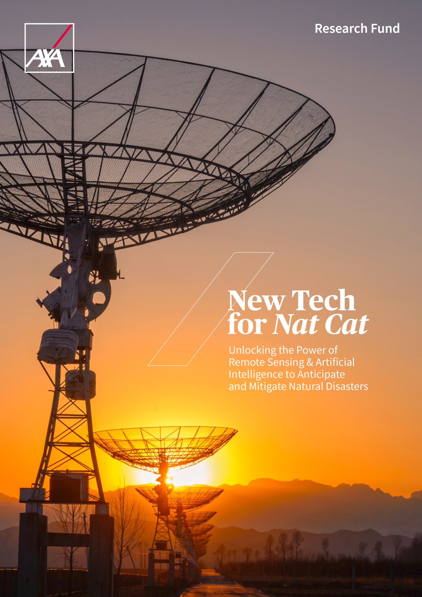
New Tech for NatCat: Unlocking the Power of Remote Sensing & Artificial Intelligence to Anticipate and Mitigate Natural Disaster

As our planet faces escalating natural catastrophes driven by climate change and human activities, the need for innovative solutions to mitigate risks and build resilience has never been more urgent. The latest publication from the AXA Research Fund, New Tech for NatCat, brings together expert insights from academia, public organizations, and the private sector to explore how remote sensing and artificial intelligence (AI) are transforming the way we understand, predict, and respond to natural disasters.

Remote sensing technologies, such as satellite imagery, LiDAR, and drones, offer unprecedented capabilities to monitor environmental changes in real time. Coupled with AI, these tools can process vast datasets, uncover patterns, and generate actionable insights to enhance disaster preparedness and response. However, challenges remain, including data quality, accessibility, and the need for localized models that account for regional specificities. This report delves into these challenges and opportunities, showcasing how cutting-edge technologies are reshaping disaster risk management.
Browse the table of contents below and download the publication.
Chapter 1: How Remote Sensing and AI Change the Scientific Approach to Natural Risks
This chapter explores the transformative potential of remote sensing and AI in understanding natural hazards, exposure, and vulnerability. It highlights how these technologies are enabling more precise risk assessments and fostering a shift from reactive to preventive disaster management.
All Eyes on the Planet: Combatting Natural Disasters with Earth Observation and Artificial Intelligence - Jocelyn Chanussot, INRIA
AI and Remote Sensing Take Exposure, Hazard, and Vulnerability Assessments to Another Level - Florent Lobligeois & Rémi Meynadier, AXA Group Risk Management
Natural Catastrophes in a Changing Climate - Markus Donat, Barcelona Supercomputing Center
Our Changing Coastlines: How Remote Sensing and AI Can Help Mitigate Coastal Risks - Roshanka Ranasinghe, IHE Delft and University of Twente
Climate Change in Africa: Risks, realities, and the race for local data - Christopher Trisos, University of Cape Town
Chapter 2: The Road Towards Actionable Impact Forecasting
This chapter focuses on the evolution from hazard forecasting to impact forecasting, emphasizing the importance of predicting the consequences of natural disasters to enable more targeted interventions.
From Hazard Forecasts to Impact Forecasts: The Case of Floods - Bruno Merz, GFZ Helmholtz Centre for Geosciences at University of Potsdam
Beyond the Bang: Towards Forecasting Volcanic Impacts Rather Than Just Hazards - Susanna Jenkins, Earth Observatory of Singapore at Nanyang Technological University
Advancing Wildfire Risk Assessment and Mitigation Strategies - Marcos Rodrigues Mimbrero, University of Zaragoza & Huu-An Pham, AXA Climate
Predicting and Monitoring Explosive Storms in a Densely Populated Climate-Change Hotspot - Emmanouil Flaounas, ETH Zurich, Giulia Panegrossi, CNR-ISAC & Heini Wernli, ETH Zurich
Chapter 3: New Approaches to Early Warning Systems
This chapter examines how remote sensing and AI are enhancing early warning systems for various natural hazards, from tsunamis to dust storms, enabling faster and more reliable alerts.
Towards the Advancement of Tsunami Early Warning Systems - Michela Ravanelli, Sapienza University of Rome
Enhancing Dust Storm Early Warning Systems with Remote Sensing and AI - Carlos Pérez García-Pando, Barcelona Supercomputing Center
Mobilizing Remote Sensing and AI Against Natural Hazards and Disasters - Ben Horton, City University of Hong Kong & Lauriane Chardot, Nanyang Technological University
Chapter 4: Towards better risk management at a societal level
This chapter explores how remote sensing and AI are transforming risk management at a societal level, from improving seismic risk assessments and flood forecasting to revolutionizing claims management and insurance practices, fostering a shift from reactive to preventive strategies.
A New Vision for Seismic Risk, towards Better Risk Management - Phillipe Guéguen, University Gustave Eiffel and Institute of Earth Sciences of Grenoble
AI to the Rescue: Designing Flood and Cyclone Forecasts in line with the Needs of Humanitarians on the Ground - Andrea Ficchi, Politecnico di Milano
How AI-based Enhancements Respond to the Needs of Humanitarians: 3 Case Studies
How the Insurance Sector Seizes AI and Remote Sensing Tools for Natural Disasters - Pierre du Rostu, AXA Digital Commercial Platform
Leveraging the Potential of Remote Sensing and AI to Help Keeping the World Insurable - Alexander Vollert, AXA Group COO
Transforming Claims Management with Remote Sensing and AI – Roel Soetens & Geert Warrens, AXA Belgium
Challenges
The Challenges of Miniaturization in Low Earth Orbit Satellites – Elisa Robert, Grenoble Space Centre, Didier Donsez, Grenoble Alpes University, Denis Bousquet, AXA XL & Mathieu Barthélemy, Grenoble Alpes University
Read New Tech for NatCat
Download the PublicationDiscover research projects related to the topic
Societal Challenges
Artificial Intelligence & Emerging Technologies
Civil Society & Governance
Polarization & Social Divides
Ethical AI & Responsible Innovation
Post-Doctoral Fellowship
Hong Kong
Impact of Misinformation & Mistrust on Environmental Issues & Democracy: A Comparative Study
Environmental disasters and the way information about them is shared can affect how well democracy works and how people get... Read more

Minos Athanasios
KARYOTAKIS

